Land & acreage · Redding & Northern California
Land & Acreage Photography in Redding, CA
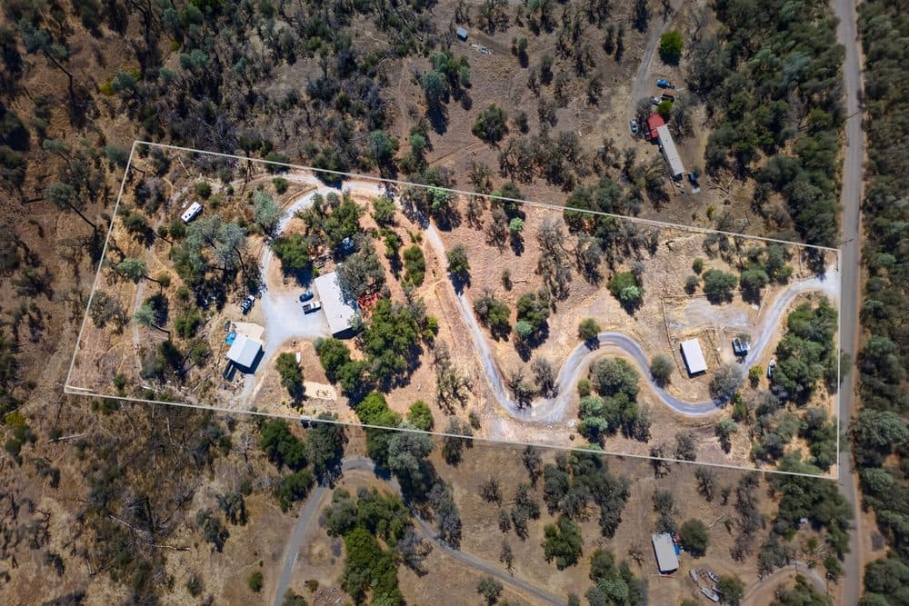
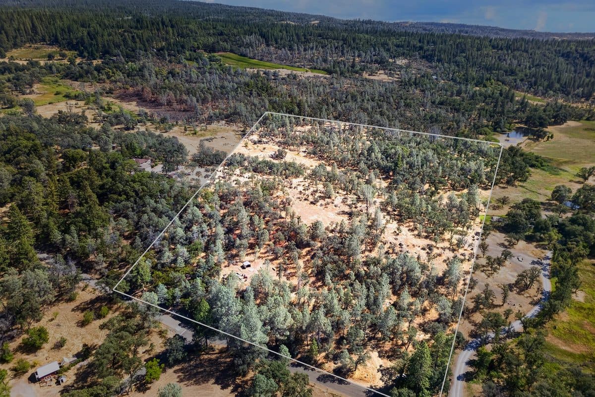
Most buyers can't picture a house on an empty lot. So I show them one. Aerials of the parcel, the boundary drawn in, and a rendering of what it could hold, starting at $250.
Land tiers
Drone-only coverage for vacant land and lots, each with one lot concept rendering included. Boundary overlays are marked approximate, not a survey.
Lot
Drone only · up to ~1 acre · 6–8 aerial photos
Lot + Lines
Lot, plus boundary-line overlay · up to 12 photos
Acreage
1+ acres or multiple features · 12–15 photos + flyover clip
Renderings & overlays
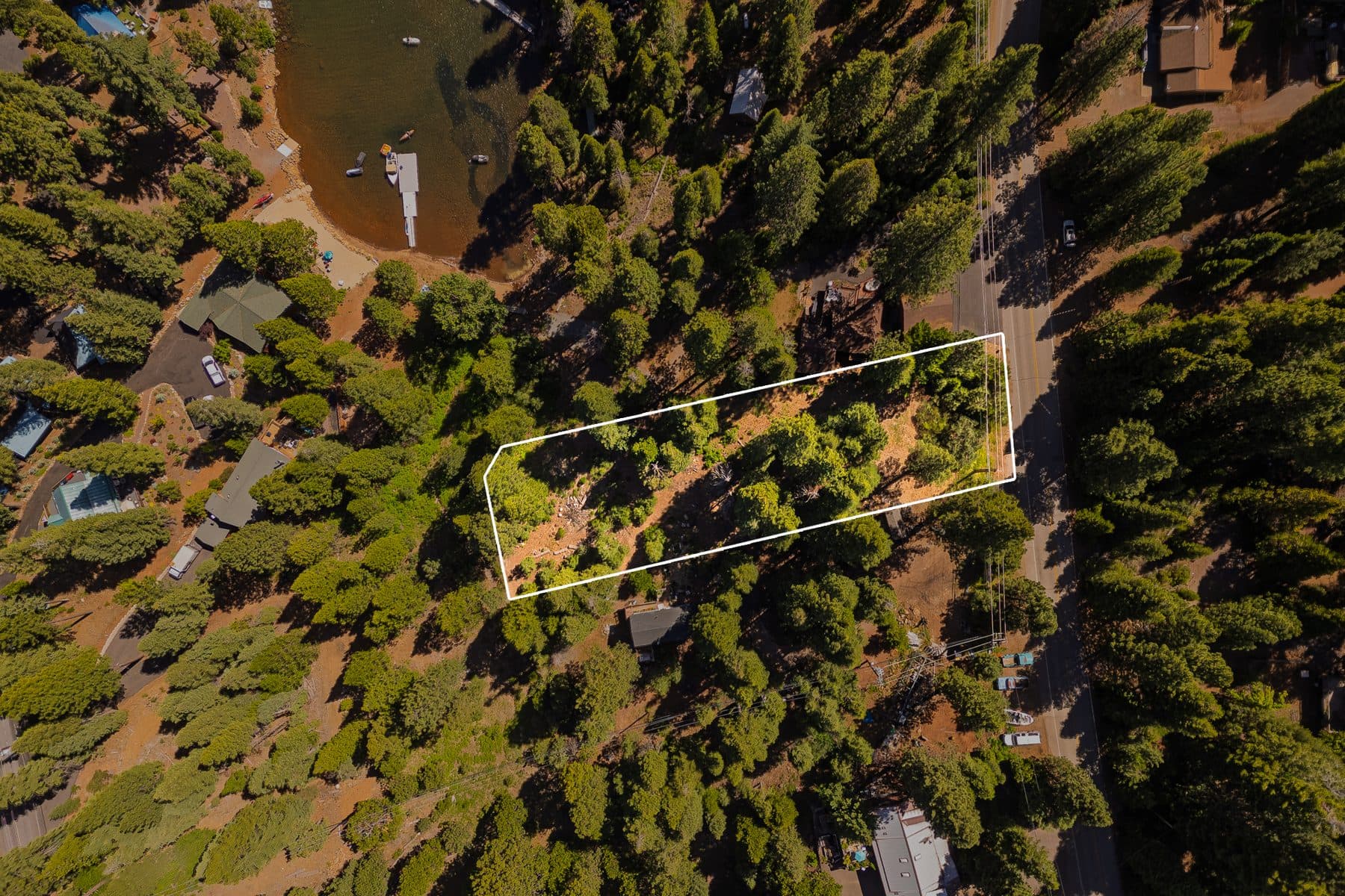
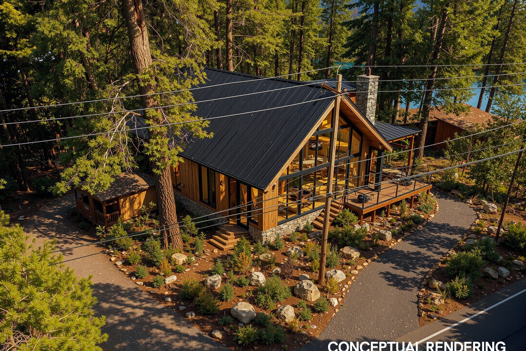
Every rendering comes labeled and paired with its original, so it posts compliant under California AB 723. Lot concept renderings are three for $200.
Good to know
Land, answered.
How much does land photography cost in Redding?
+–
A lot up to about an acre is $250. Lot + Lines, with the boundary drawn in, is $300. Acreage starts at $450 and includes a flyover clip. Every land tier includes one lot concept rendering.
Are the boundary lines a survey?
+–
No. Boundary overlays are marked approximate, not a survey. They show buyers roughly where the parcel runs at a glance, and the survey still sets the legal line.
What is a lot concept rendering?
+–
A rendering of a home on the lot, so buyers can picture what the land could hold. One comes with every land tier. More are $75 each, or three for $200. Each one ships labeled and paired with the original aerial, compliant under California AB 723.
How far will you travel for land?
+–
Across Northern California, from Redding out to Shingletown, Weaverville, and Lake Almanor. Travel beyond 10 miles of Redding is $0.70 a mile, round-trip.
Help buyers see what the land could be.
Book a shoot